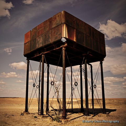
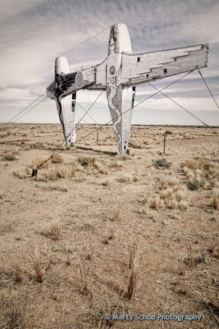
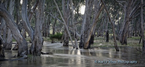
Recently I revisted one of my favourite outback tracks, the Oodnadatta Track. I find it a fasinating location on so many levels. From a photography perspective there is something new and interesting around every corner. The history of the track and the old ghan railway that follows it is well documented on interpretive signs along the way. If you only do one ‘outback track’ then make this it! Here are a small selection of Oodnadatta Track photographs from my visits highlighting the diverse nature of this wonderful place.
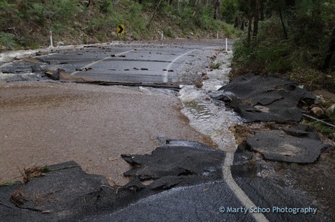
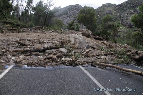
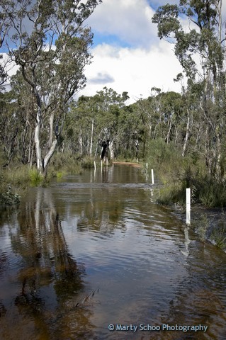
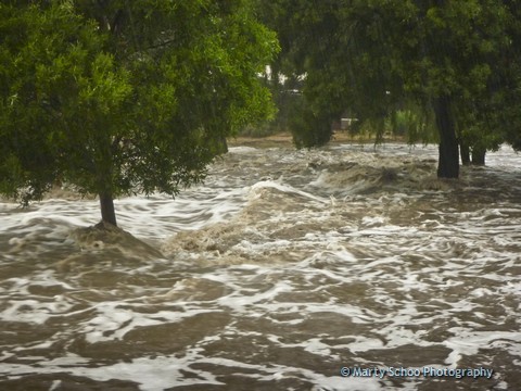
January 2011 brought unprecedented rainfalls across many parts of Victoria. Halls Gap received around 280mm in 48 hours! The changes to the Grampians National Park were quick, dramatic and not to mention expensive.
Many roads and attractions in the Grampians National Park have since reopened with only a handful still under repair. The photographs taken below are a mixed bag taken on both my Pentax K-5 and my little waterproof Lumix (necessary with the rain so heavy).
 |
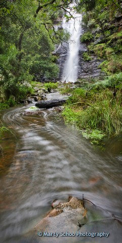
| Silverband Falls before floods |
|
|
| Silverband Falls after floods |
|
|
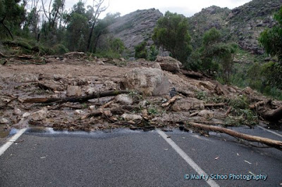
| Landslide on Mt Victory Road |
 |
| Mt Victory Road |
 |
| Mt Victory Road |
 |
| Mt William Creek |
 |
| Mt William Creek |
 |
| Victoria Valley |
 |
| MacKenzie Falls during floods |
 |
| Stairs down to MacKenzie Falls |
 |
| Raging flood waters in stoney creek right near stores in town |
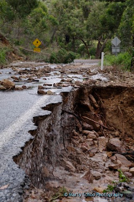 |
| Mt Victory Road |